GAIA
SPATIAL +
DATA
= SOLUTIONSGAIA (Geospatial AI Analytics) is a platform designed for geospatial data assimilation and management, supporting our spatial analyses across environmental, energy, and urban applications.
GAIA provides tools for transforming, combining, and documenting users' geospatial data, allowing users to easily integrate and analyze diverse datasets.
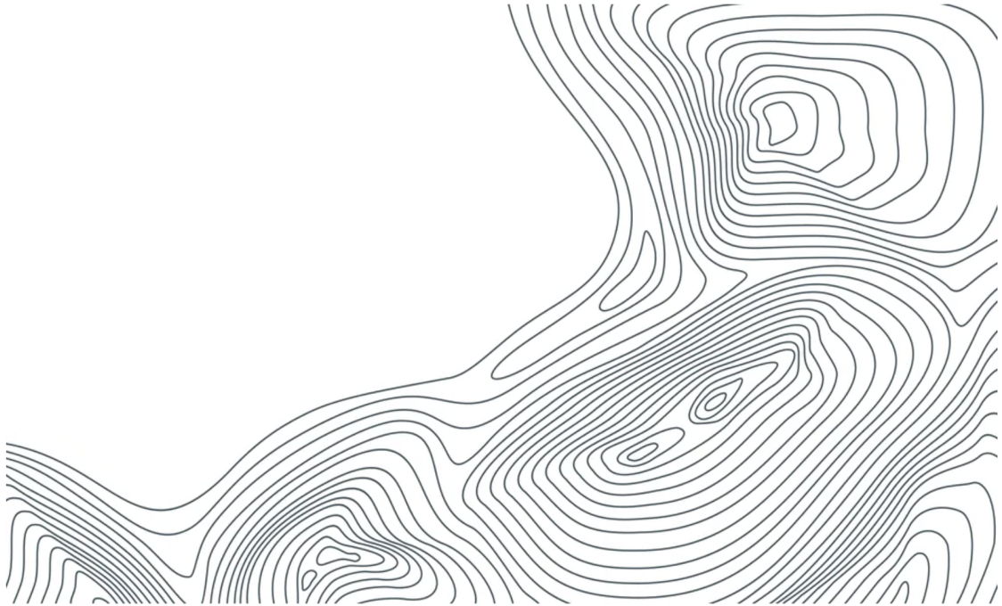
The platform utilizes interpolation techniques to handle spatial transformations, missing data, and data quality issues.
GAIA features visualization tools and interactive mapping interfaces to support rapid experimentation and analysis.