How AI and Multi-Physics Imaging Are Transforming Exploration for Hydrogen, Geothermal Energy, and Critical Minerals
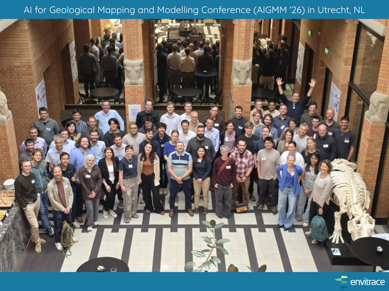
At the recent AI for Geological Mapping and Modelling Conference (AIGMM '26) in Utrecht (a beautiful city with brick canals, great bicycling infrastructure, and excellent stroopwafels!) EnviTrace Co-Founder and CTO Dr. Velimir "Monty" Vesselinov presented research on combining multi-physics geophysical imaging and artificial intelligence to tackle one of the biggest challenges in resource exploration.
Here's the reality: as demand for clean energy and critical minerals surges, the industry desperately needs better ways to understand what's buried beneath our feet. Geothermal reservoirs, natural hydrogen deposits, and critical mineral bodies are hidden in complex geological systems. Traditional exploration methods? They're often slow, expensive, and leave a lot of room for uncertainty. That's where physics-informed AI and machine learning comes in.
The Challenge of Imaging Complex Subsurface Systems
Here's the fundamental problem: the resources we're hunting for, whether it's geothermal heat, hydrogen, or critical minerals, don't announce themselves loudly. They're scattered across fractured rock layers and shaped by fluid, thermal regimes that shift across space and time.
For decades, exploration has relied on examining these systems one dataset at a time: a seismic survey over here, a gravity measurement there. It's like trying to understand a painting by looking at individual brush strokes. You get pieces of the picture, but not the whole story. And when exploration wells cost millions of dollars to drill, incomplete information is expensive. Uncertainty is the highest risk.
What Is Multi-Physics Imaging?
Multi-physics imaging is the antidote to the historically siloed approach. Instead of treating geophysical datasets like separate documents, they're integrated into a unified picture.
Think of it as giving geoscientists a more complete view of the picture:
- Seismic data reveals the structural architecture: where rock layers fold and fracture
- Electromagnetic surveys show us variations in conductivity, often linked to mineralization or fluid content
- Gravity measurements highlight density contrasts that help us locate ore bodies or thermal anomalies
- Well data provides ground truth; direct observations of what's actually happening underground
When each segmented "brushstoke" is combined together into a large painting, especially if uncertainties can be predicted to fill in the gaps we're unsure of, the big picture is fundamentally more powerful. Invisible relationships show up in the patterns, meaning reduced risk and reduced costs. This is what we mean at EnviTrace when we say our scientists are artists, and our artists are scientists.
How AI Improves Subsurface Interpretation
Now here's where it gets interesting. Machine learning and physics-informed AI are making it possible to process all that integrated data in ways that were unimaginable just a few years ago.
What AI can do:
- Spot patterns humans miss - machine learning can detect subtle relationships across datasets that traditional analysis might overlook
- Integrate the chaos - suddenly those diverse geological, geophysical, and geochemical datasets can talk to each other
- Speed things up - inversion and interpretation workflows that once took weeks can now run in days
- Find the fractures - AI gets better and better at identifying the pathways that matter for fluid flow
- Quantify uncertainty - instead of guessing, we can actually tell you how confident we are in our predictions
The critical part: Physics-informed AI keeps models grounded in reality. By building geological and physical constraints directly into the models, predictions stay scientifically sound while still benefiting from machine learning's speed and power.
Applications in Hydrogen, Geothermal, and Critical Mineral Exploration
Geologic Hydrogen
Naturally occurring hydrogen has emerged as a promising clean energy resource. Identifying viable hydrogen reservoirs requires understanding fault systems, migration pathways, and trapping mechanisms. Multi-physics imaging and AI can help locate favorable geological environments and reduce exploration risk.
Geothermal Energy
Successful geothermal projects depend on accurately characterizing heat sources, permeability networks, and fluid circulation pathways. Integrated geophysical datasets combined with AI-driven interpretation can improve reservoir assessment and support more efficient geothermal development.
Critical Minerals
The global energy transition depends on reliable supplies of critical minerals. AI-enhanced geophysical workflows can improve the detection of alteration zones, structural controls, and mineralization patterns, helping companies identify promising exploration targets more effectively.
Reducing Exploration Uncertainty Through Integrated Intelligence
One of the greatest challenges in subsurface exploration is uncertainty. Every drilling decision represents a significant investment, and incomplete subsurface understanding can lead to costly outcomes.
The integration of multi-physics geophysical imaging, computational modeling, and AI-assisted interpretation provides a unified framework for evaluating complex subsurface systems. By combining multiple sources of information into a single workflow, exploration teams can make more informed decisions and improve predictions of resource potential.
The Future of AI-Powered Geoscience
The convergence of geophysics, artificial intelligence, and computational science is creating new opportunities for energy and mineral exploration. As demand grows for low-carbon energy resources and critical minerals, organizations that can rapidly interpret complex subsurface data will gain a significant advantage.
At EnviTrace, we are advancing AI-driven subsurface intelligence solutions that help organizations better understand the Earth's hidden systems, reduce exploration uncertainty, and accelerate the discovery and development of critical energy and mineral resources. Our geoscience intelligence platform, EnviCloud, is built on 20+ years of R&D and ~$5m in U.S. DOE funding, and will help define the future of subsurface analytics.
Improved exploration is not simply about collecting more data. It is about transforming data into actionable intelligence, and AI is helping make that possible.